Someone is lost in the wilderness. A drone can cover more ground in an hour than a ground team can in a day — but where should it look? That question is exactly what SAREnv helps answer, and it's why benchmarks matter: you can't improve search strategies if everyone measures against a different reality.
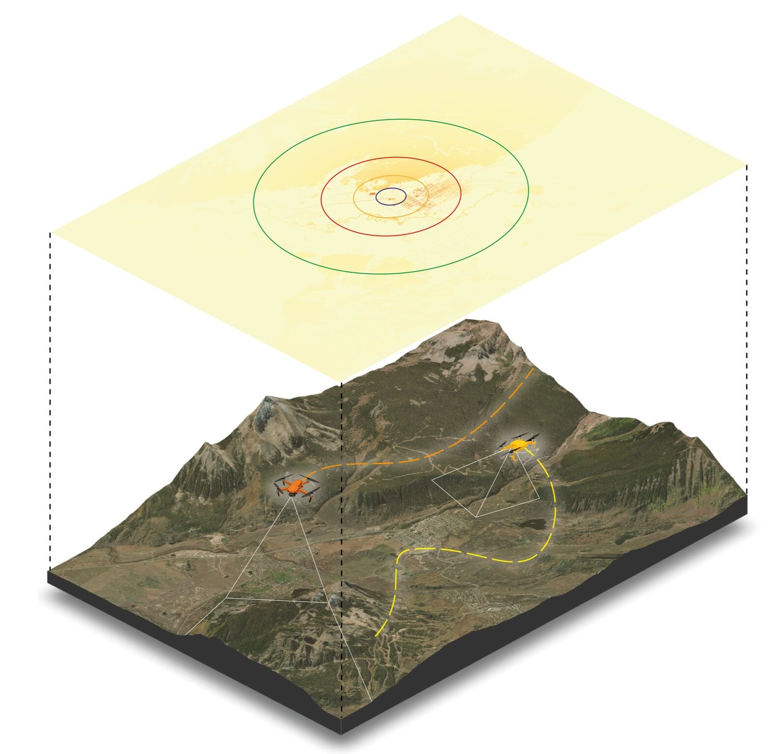
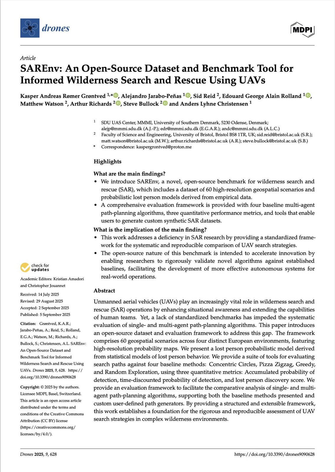
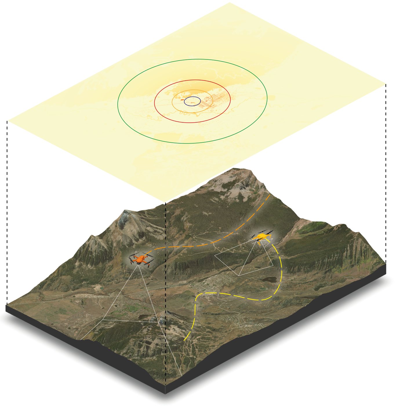
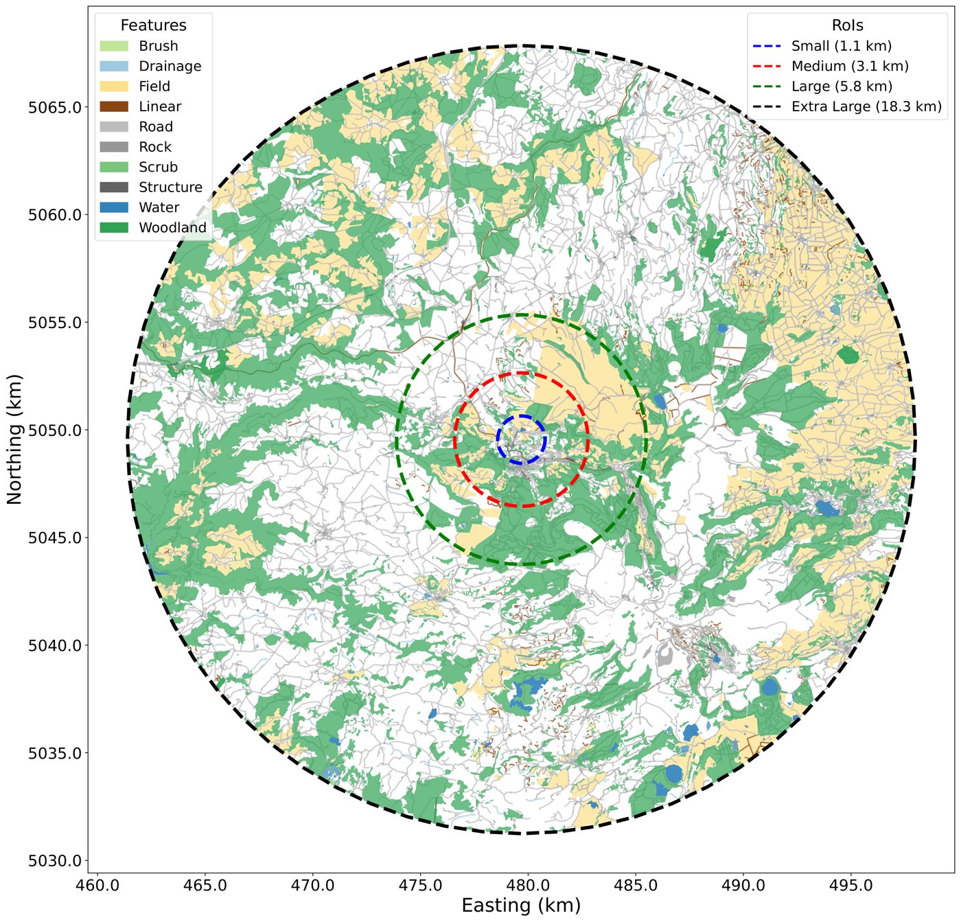
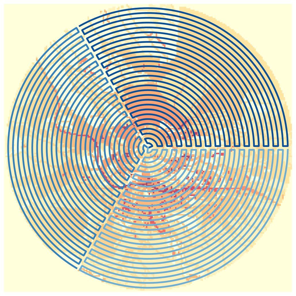
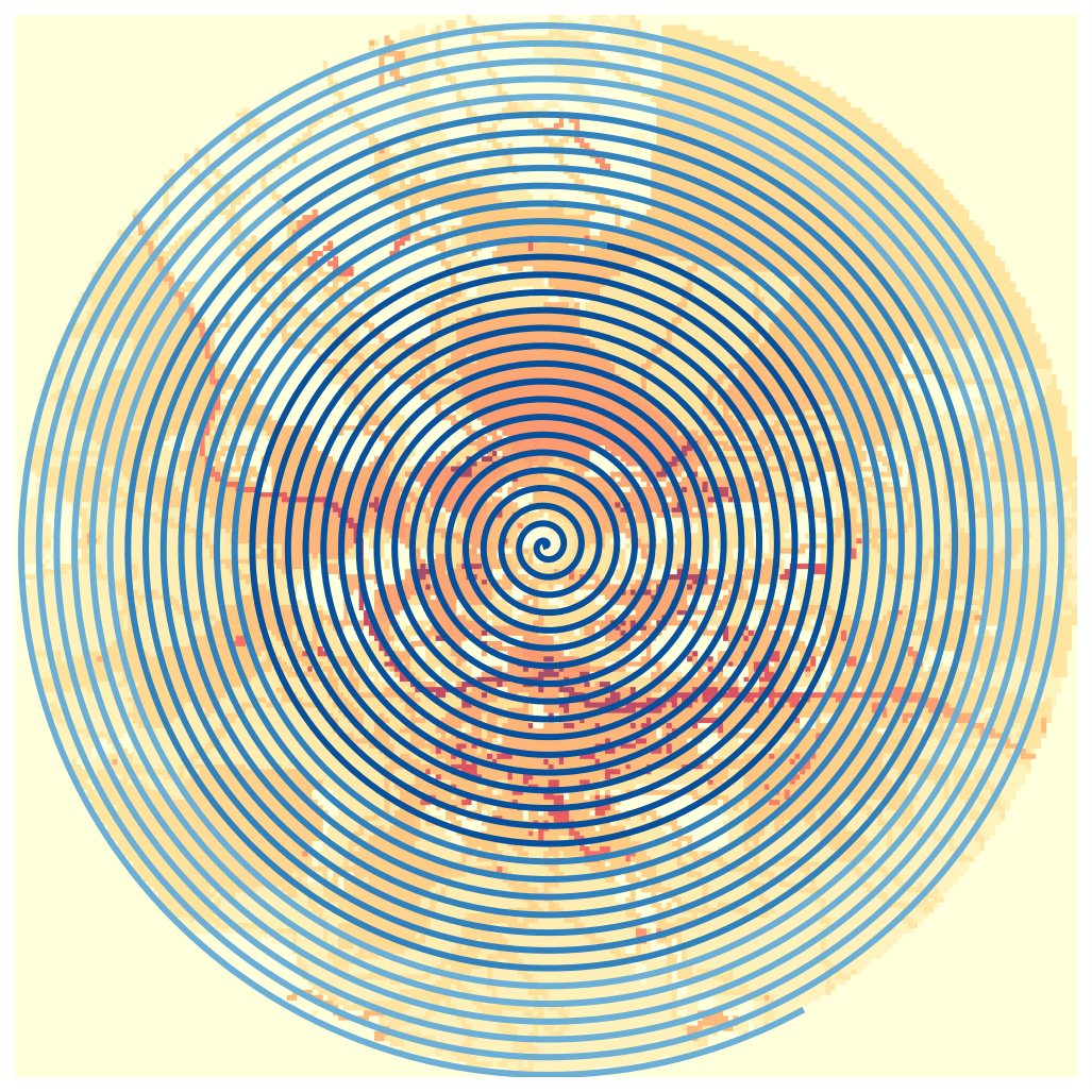
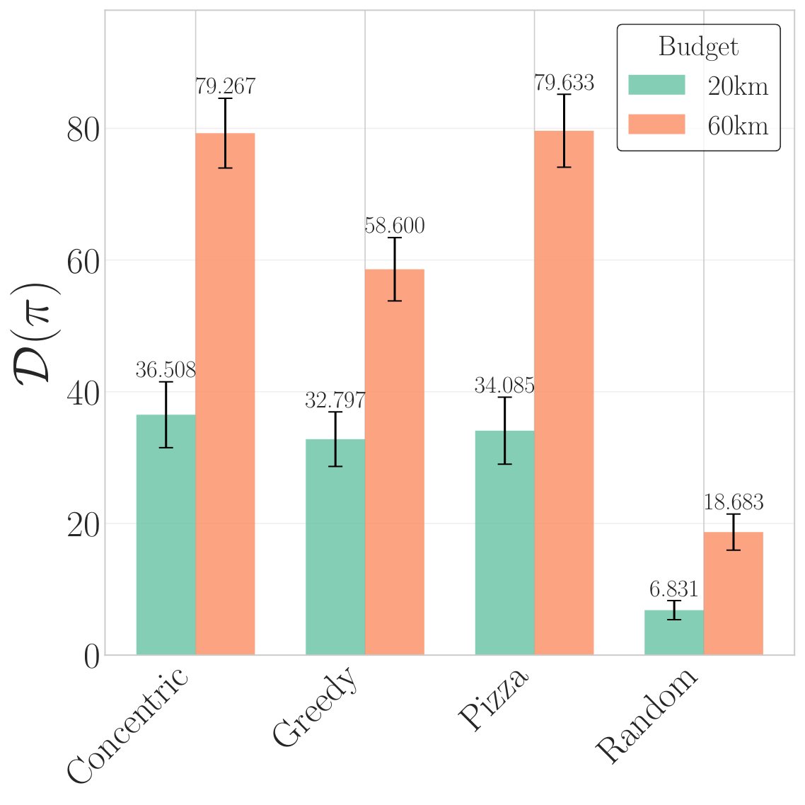
Published open-access in the journal Drones, SAREnv gives the UAV search-and-rescue community a shared dataset and evaluation framework for informed wilderness SAR planning.
What SAREnv provides
- 60 high-resolution geospatial scenarios with probabilistic lost-person models.
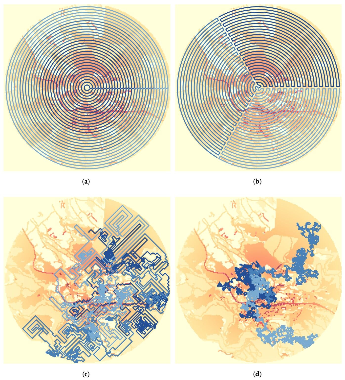
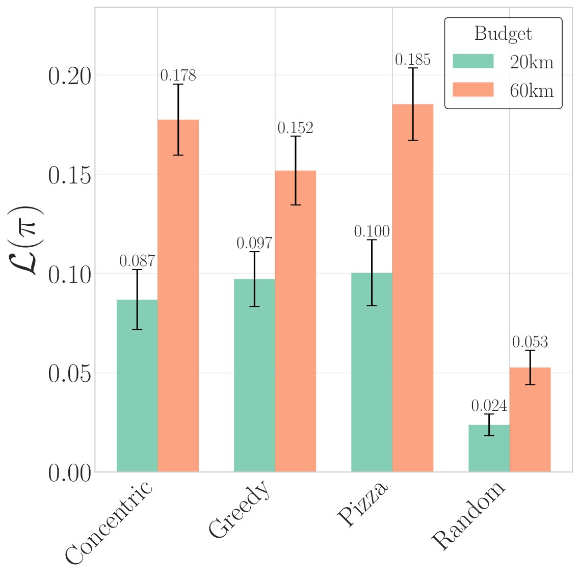
- Four baseline path-planning algorithms and three performance metrics.
- Tools to generate custom synthetic search-and-rescue datasets.
SAREnv models where a lost person is likely to be using terrain features and probabilistic movement models — so search planners can prioritize the areas that matter most.
Search strategies — from simple patterns like spirals to adaptive approaches — can then be compared head-to-head on the same scenarios.
The project is open source and lives under the NAMUR GitHub organization, growing out of the WildDrone/HERD collaboration with the University of Bristol. It's already being put to work: University of Bristol undergraduates extended and deployed SAREnv scenarios for their third-year projects, presented at the EuroDroS conference at SDU.
2025 · Drones (MDPI)MDPIGitHubVideo
K.A.R. Grøntved, A. Jarabo-Peñas, S. Reid, E.G.A. Rolland, M. Watson, A. Richards, S. Bullock, A.L. Christensen